Why Monitoring Cetaceans Remains Challenging
Assessing Environmental Feasibility for Satellite Monitoring
Seasonal and Regional Constraints on Satellite Monitoring
Balancing Opportunity with Environmental Constraints
In a recent article published in the journal Marine Mammal Science, researchers assess the potential and limitations of VHR optical satellites to monitor cetaceans around the United Kingdom (UK) and its Overseas Territories (UKOTs), focusing on the critical environmental conditions that influence optical data quality, specifically cloud cover and wind speed, and mapping when and where conditions are suitable for satellite-based observation rather than demonstrating routine monitoring performance.
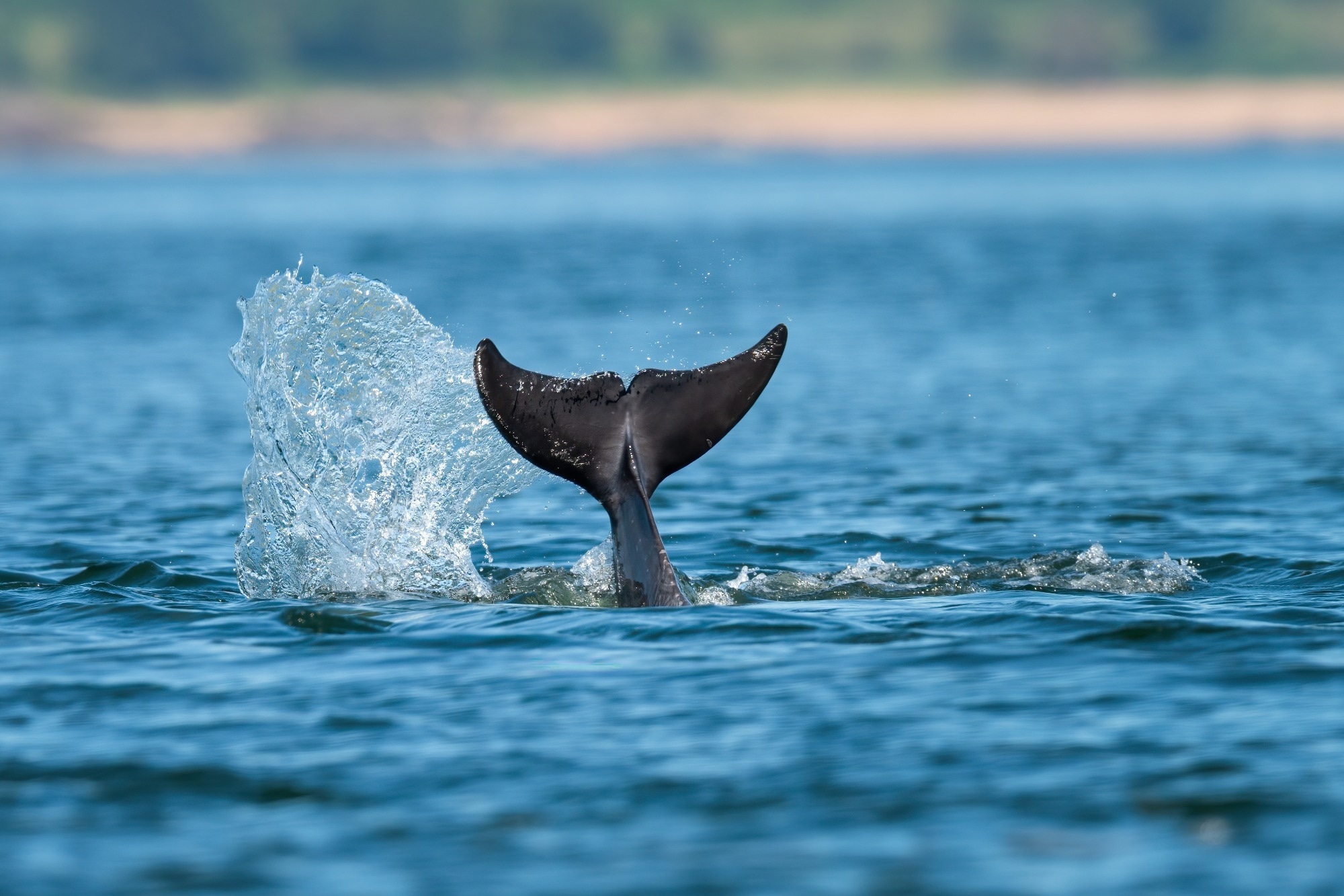
Image Credit: Alex Cooper Photography/Shutterstock.com
Why Monitoring Cetaceans Remains Challenging
Cetaceans i.e. whales, dolphins, and porpoises are ecologically important marine species whose conservation requires reliable data on their population distribution, abundance, and broader monitoring coverage. Traditional monitoring methods like boat and aerial surveys are limited by logistics, costs, and environmental conditions, resulting in significant gaps, especially in remote areas. Very high-resolution (VHR) optical satellite imagery has emerged as a promising technological tool to complement existing methods, with the potential to detect both live and stranded cetaceans. However, the feasibility of deploying such methods operationally at large spatial and temporal scales remains insufficiently explored, particularly in relation to environmental constraints on image acquisition.
Assessing Environmental Feasibility for Satellite Monitoring
The study used five years of global ERA5 reanalysis data, focusing on monthly median values of "Total Cloud Cover" (TCC) and "10-meter Wind Speed" at a spatial resolution of 0.25 by 0.25 degrees (approximately 31 km grid cells). ERA5 provides consistent, model-based estimates that combine historical observations and modern weather models, making it reliable for large-scale feasibility assessments. The researchers selected three study areas: the British Isles, the Falkland Islands in the South Atlantic, and the Caribbean region, representing temperate, subpolar, and tropical environments, respectively.
Thresholds for suitability were defined based on satellite optical imagery needs and cetacean detection constraints. Cloud cover was categorized into levels from “certain” to “impossible” for successful image acquisitions, with ≤20% monthly average TCC considered “certain” for usable imagery, alongside additional intermediate threshold scenarios used to generate feasibility maps across a range of cloud conditions. For wind speed, a threshold of 8 meters per second (equivalent to Beaufort scale 4) was chosen based on literature concerning traditional live cetacean surveys and earlier satellite efforts; this threshold reflects conditions below which surface roughness allows cetaceans to be discernible in satellite imagery.
Using open-source GIS software, the team integrated cloud and wind data to map “suitable area(s)”, regions and seasons where the environmental conditions would allow for feasible VHR optical satellite monitoring of live whales, while a separate framework based primarily on cloud cover was applied to assess stranded cetacean detection along coastal zones. This approach provides a replicable framework applicable globally.
Seasonal and Regional Constraints on Satellite Monitoring
The assessment revealed pronounced seasonal and spatial variability in feasibility. In UK waters, low to moderate cloud cover during boreal spring and summer, combined with acceptable wind speeds offshore, suggests that satellites can complement existing live cetacean surveys by extending coverage to more remote, offshore locations that are difficult to sample conventionally. However, during autumn and winter, persistent high winds substantially reduce monitoring potential by creating rough sea surfaces that obscure cetacean detection. High cloud cover also poses considerable challenges, especially in the winter months, when satellite imagery collection is less reliable or impossible.
For stranded cetaceans along the UK coastline, nearshore areas tend to have more feasible conditions year-round as suitability is primarily governed by cloud cover in coastal zones rather than wind-driven sea state. Nevertheless, the extensive UK coastline, combined with a strong existing network of stranding observers, means satellites are less likely to replace but could opportunistically support monitoring, particularly in remote or inaccessible regions such as the Hebridean Islands.
In contrast, the Falkland Islands show more promising conditions. Although subject to the powerful and persistent Southern Hemisphere westerlies, some parts of the coastline, such as the remote West Island, benefit from lower cloud cover and wind conditions during the austral summer. Satellites here could improve strandings monitoring where logistical constraints limit data collection.
The Caribbean UKOTs offer the greatest promise for year-round operational satellite monitoring due to generally lower cloud cover and moderate winds in tropical environments. These regions host important breeding populations of humpback whales and other cetaceans, making satellite monitoring particularly valuable.
The study emphasized the importance of the optical properties of satellite imagery, how clouds physically block the reflected sunlight required for optical sensors and how wind-generated whitecaps complicate the detection of submerged or surface cetaceans by increasing reflectance noise, reinforcing that environmental conditions fundamentally constrain when satellite observations are feasible.
Balancing Opportunity with Environmental Constraints
VHR optical satellite imagery presents a complementary tool to aid cetacean monitoring around the UK and UK Overseas Territories. While environmental challenges such as cloud cover and wind speed limit year-round usability in temperate regions like the UK, seasonal windows in spring and summer offer opportunities for offshore live cetacean detection that can supplement conventional surveys. This approach helps target satellite tasking to maximize detection probability and cost-effectiveness while recognizing continuing limitations inherent to passive optical sensing, and should be interpreted as a framework for environmental feasibility rather than a demonstration of continuous operational monitoring capability. Further technological advancement in satellite sensors and complementary methods may further enhance monitoring potential, but for now, environmental optics considerations such as cloud presence and sea surface state remain critical determinants of successful optical satellite cetacean monitoring.
Download the PDF of this page here
Journal Reference
Clarke P. J., Cubaynes H. C., et al. (2026). Talking About the Weather: The Feasibility of Using Very High-Resolution Optical Satellite Imagery to Monitor Live and Stranded Cetaceans Around the UK and UK Overseas Territories. Marine Mammal Science, 42, e70074. DOI: 10.1111/mms.70074, https://onlinelibrary.wiley.com/doi/full/10.1111/mms.70074