Arizona State University researchers Megan Seeley and Gregory P. Asner have documented the many ways in which imaging spectroscopy has been used for earth conservation purposes – with emerging technology gathering key data that traditional approaches fail to spot.

Image Credit: r.classen/Shutterstock.com
What is Imaging Spectroscopy?
Conservationists use various remote sensing techniques to record and monitor the world’s ecosystems and environmental processes. Multispectral remote sensing is commonly used to provide data for conservation decisions, however, these satellite-borne sensors can only capture band ratios for chemicals present on the earth’s surface.
Imaging spectroscopy, also referred to as hyperspectral remote sensing, captures the full and diverse chemistry on the surface. However, it has not been used extensively in conservation. This is mainly due to its relatively higher costs.
Imaging spectroscopy is a measuring technique in which multiple spatially coregistered images are captured in numerous spectrally contiguous bands. Images are formed from channels (narrow wavelength intervals) arranged to capture a continuous portion of the electromagnetic spectrum.
Imaging spectroscopy acquires image data from a large and unbroken segment of the electromagnetic spectrum: from 400 nm (visible light) to 2500 nm (infrared). This contrasts with passive remote sensing platforms such as Landsat and Sentinel-2, which can only pick up bands of wavelengths that are from non-adjacent parts of the electromagnetic spectrum.
Imaging spectroscopy is carried out by instruments onboard satellites and aircraft.
How is Imaging Spectroscopy Used by Conservationists?
The data provided by imaging spectroscopy are used in conservation discussions and decisions. This data can be used as evidence to support new land management approaches, regulations, and to recognize valuable contributions to conservation.
In research recently published in Remote Sensors, Arizona State scientists identified impactful uses of imaging spectroscopy across four global habitat types:
- Forest
- Dryland
- Marine
- Urban
They also found case studies where imaging spectroscopy had been used to monitor methane levels.
Forest Biodiversity
The background rate of species extinction has been accelerated 1,000 times by humans. In forest areas, imaging spectroscopy is used to tackle this loss of biodiversity.
Imaging spectroscopy data was used to create canopy chemical traits in all of Peru’s forests, recording unique chemical and spectral fingerprints of species in the forest canopy.
Mapping this directly supported the establishment of Yaguas National Park in the Peruvian Amazon. The mapping project also showed how forest biodiversity is protected better in indigenous lands than it is in government-protected areas.
Forest Health
Drought, disease, and invasive species harming the health of a forest are also concerning to conservationists. In Hawai’i, a new tree pathogen, Rapid Ohi’a Death (ROD) was detected and mapped using image spectroscopy data.
ROD affects Hawai’i’s most abundant native tree, the ohi’a. When the tree is blighted, its spectral signature changes and imaging spectroscopy can identify the spread of the blight at scale.
Drylands
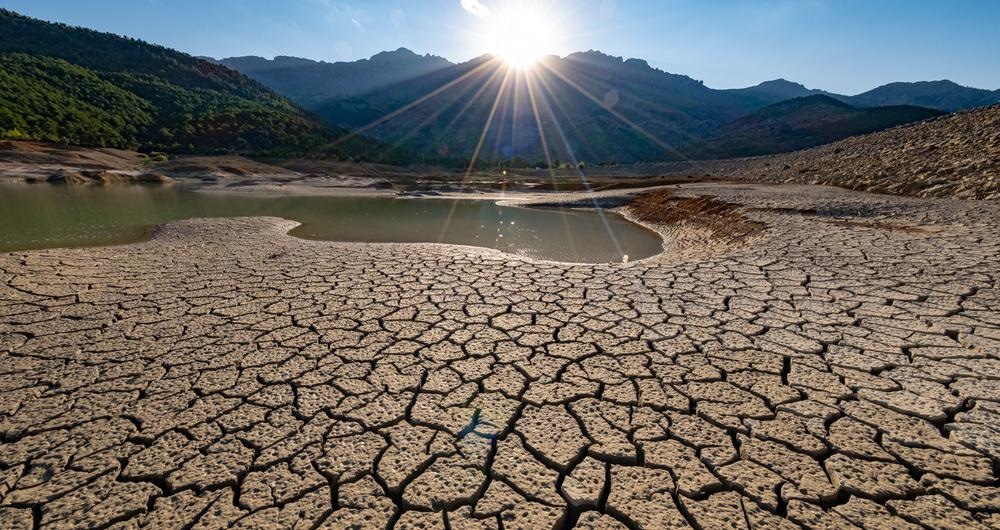
Image Credit: emerald_media/Shutterstock.com
In drylands – which are growing due to desertification – imaging spectroscopy can record changing compositions of land vegetation at scale, due to its capacity for high spectral resolution.
Imaging spectroscopy has been used to show how grazing affects desertification and to identify invasive plants. Surface mineralogy maps of soil organic carbon, cation exchange capacity, and soil salinity have been made using imaging spectroscopy.
Urban

Image Credit: Stephan Guarch/Shutterstock.com
Urban areas – which already house 55% of the world’s population – are expected to grow with the addition of 2.5 billion more people by 2050. These cities’ growth must be balanced with conservation goals to protect the environment as well as the people living within them.
Imaging spectroscopy has a role to play in providing data to inform urban planning and infrastructure processes, including heat, groundwater recharge, and air quality.
Marine
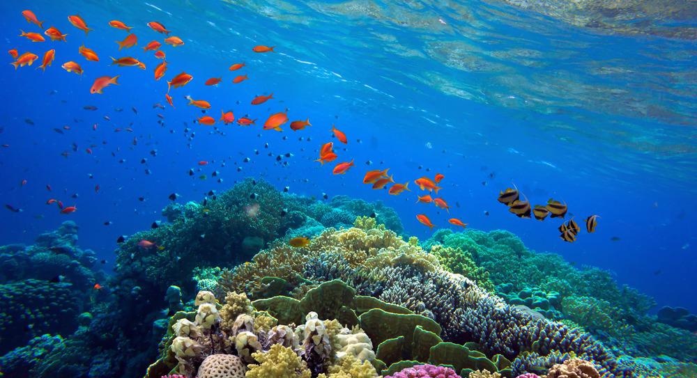
Image Credit: Vlad61/Shutterstock.com
Imaging spectroscopy is being used to protect coral reefs – over three-quarters of which are threatened by human activities such as overfishing, pollution, coastal development, rising sea temperatures, and rising sea levels.
Reef monitoring is typically carried out by individual divers at great expense. As such, many reef maps are out of date and there is little information about reef degradation over time.
Imaging spectroscopy is resolving these issues by obtaining large sets of image data to make up-to-date, dynamic maps of the planet’s important coral reefs. Reef habitat complexity can also be analyzed with this technique, and a picture of reef degradation over time can be built up.
Conclusion
The researchers frequently cited the value of the increased imaging capacity offered by imaging spectroscopy. They also included calls for specific developments in imaging spectroscopy technology to further support collective conservation efforts.
References and Further Reading
Seeley, Megan and Gregory P. Asner (2021) Imaging Spectroscopy for Conservation Applications. Remote Sens. [Online] https://doi.org/10.3390/rs13020292
Disclaimer: The views expressed here are those of the author expressed in their private capacity and do not necessarily represent the views of AZoM.com Limited T/A AZoNetwork the owner and operator of this website. This disclaimer forms part of the Terms and conditions of use of this website.